FOR YOU, FOR FREE: 19 years' worth of firsthand Costa Rica trip planning and travel advice compiled into hundreds of articles, plus exclusive discounts.
Costa Rica Highway Conditions By Route
Article last updated on May 28, 2025. Note that an old date may indicate that an update is not required, not that the text is outdated.
Learn what to expect from Costa Rica highway conditions according to where you plan to travel
Want to know what kind of Costa Rica highway conditions you’ll encounter before hitting the road? No sweat! Below we compare and contrast several of Costa Rica’s highways according to the following factors:
Alternative highway names: Other names for the highway that locals, GPS navigational systems, and maps may cite
Popular destinations encountered along the route: Cities, towns, and sights of interest you’ll pass through (or come close to) along the highway
Popular destinations reached by cutoffs along the route: Cities, towns, and sights of interest that are accessible by taking a side road that branches off the highway
Highway conditions and design: Whether you can expect a paved, rocky, or dirt highway, as well as a multi-lane or single-lane highway
Terrain: Whether you can expect to drive over flat land or through mountains
Pace: Whether you can expect to drive at a fast speed, at an average speed, or at a slow speed along the highway
Traffic: Whether you can expect traffic to be standard (the highway is shared with other vehicles but moves well) or heavy (anywhere from rush hour congestion to bumper-to-bumper stalls)
Flow: Whether you can expect a one-way or two-way highway; for one-way highways, we provide the direction of traffic flow
Tolls: Whether you’ll need to pay one or more tolls to travel the route
River crossings: Whether you’ll likely need to cross a river along the route (depending on the weather and the time of year you plan to visit)
4×4 vehicle required: Whether a 4×4 vehicle is required to maneuver the highway
Our Costa Rica highway ranking system
We also rate Costa Rica highway conditions according to a 1-10 scale (1 being the worst and 10 being the best). If you’re short on time, look for the scales below to quickly identify how we rate each highway.
The scales look like this:
and this:
The first image image depicts the lowest rating. (The overall highway quality is 1 out of 10.) The second image above depicts the highest rating. (The overall highway quality is 10 out of 10.)
Most highways in Costa Rica are rated 7/10, 8/10 or 9/10 because they’re fairly well kept. As described in our related blog post, Costa Rica Road Conditions By Route (coming soon!), other roads in Costa Rica (non-highways, such as back roads) are rated much lower.
Want to know the Costa Rica highway conditions for a route we don’t cover below?
No problem! Leave us a comment at the bottom of this page and we’ll add the route rating and details to our list.
Not sure if you should rent a car in Costa Rica? We can help!
Don’t miss our comparison of advantages and disadvantages in our related blog post:
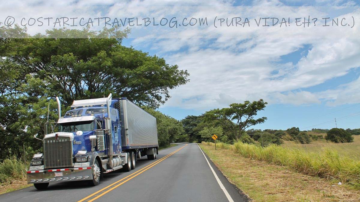
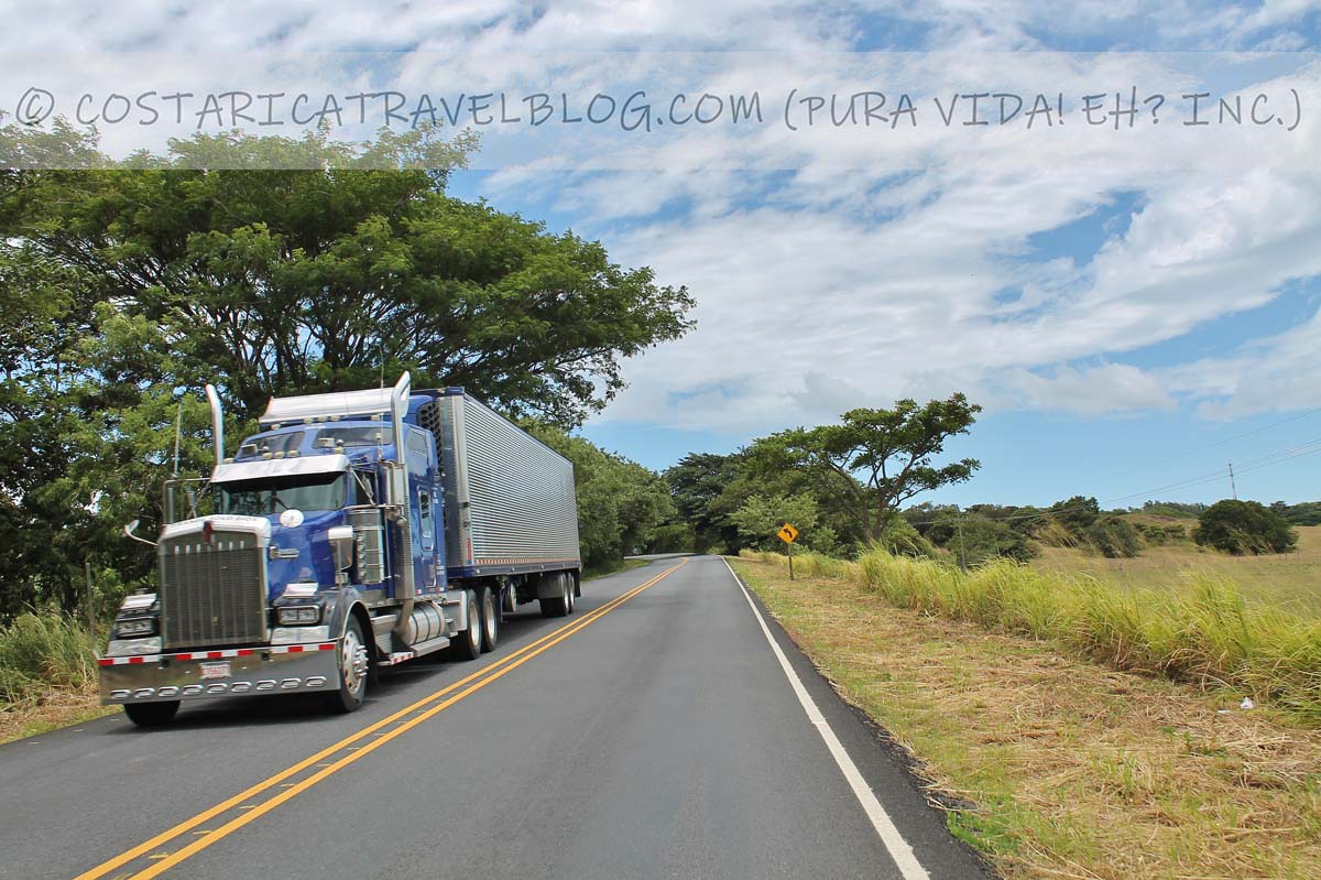
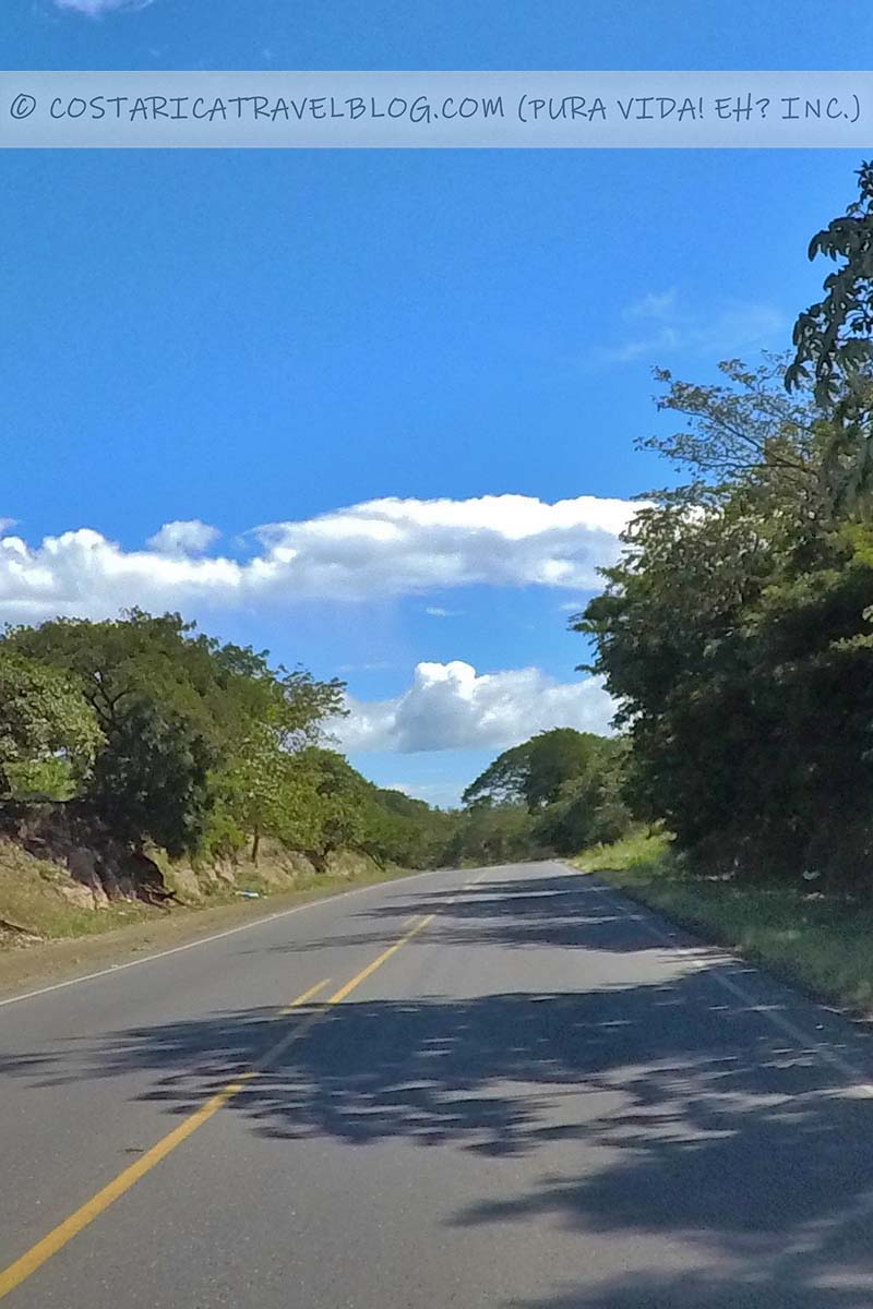
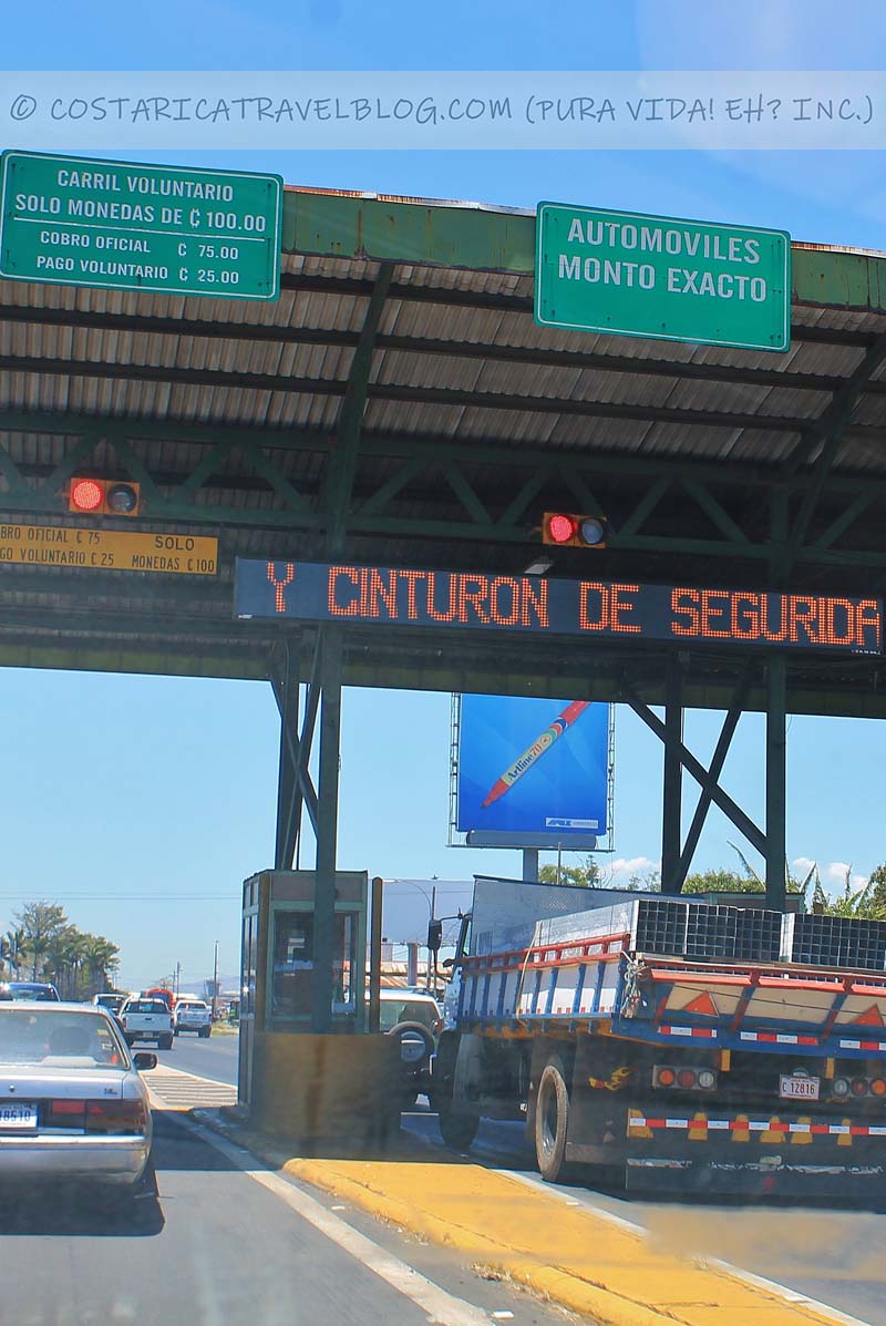
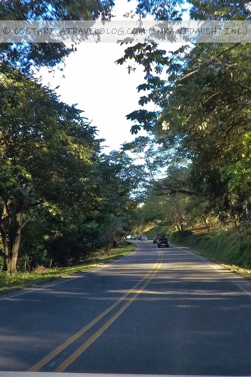
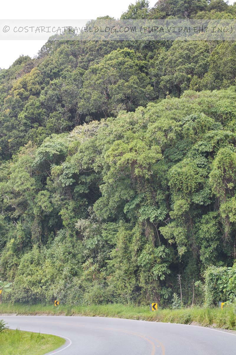
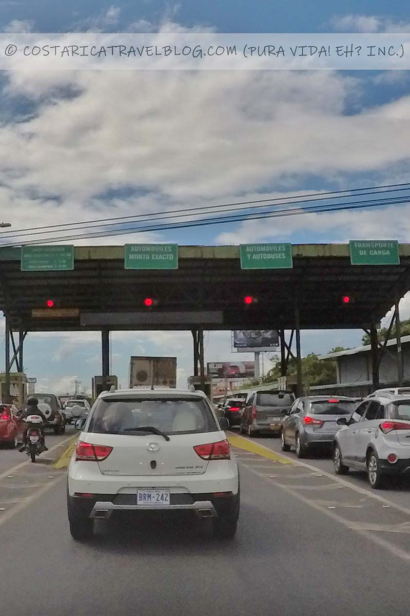
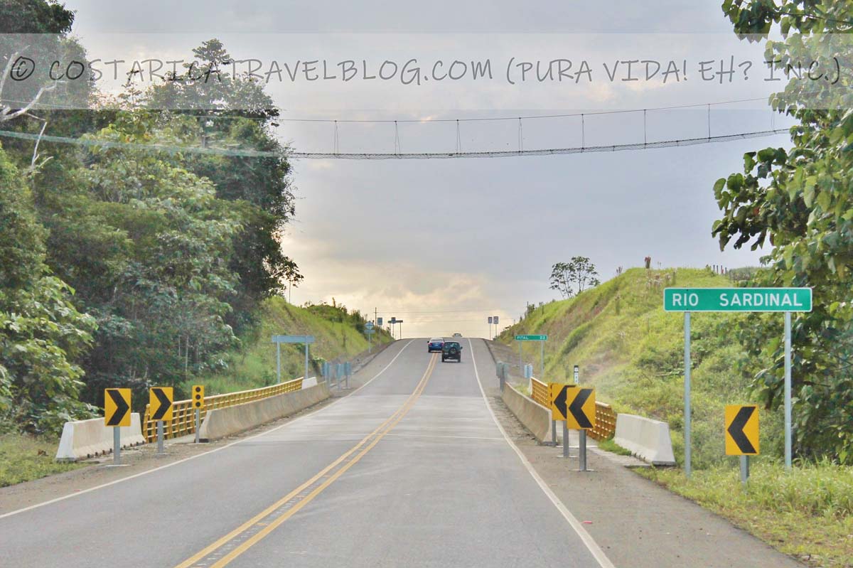
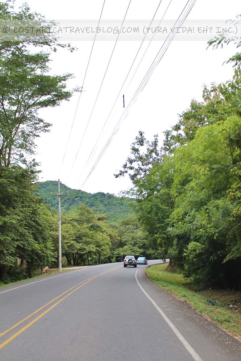
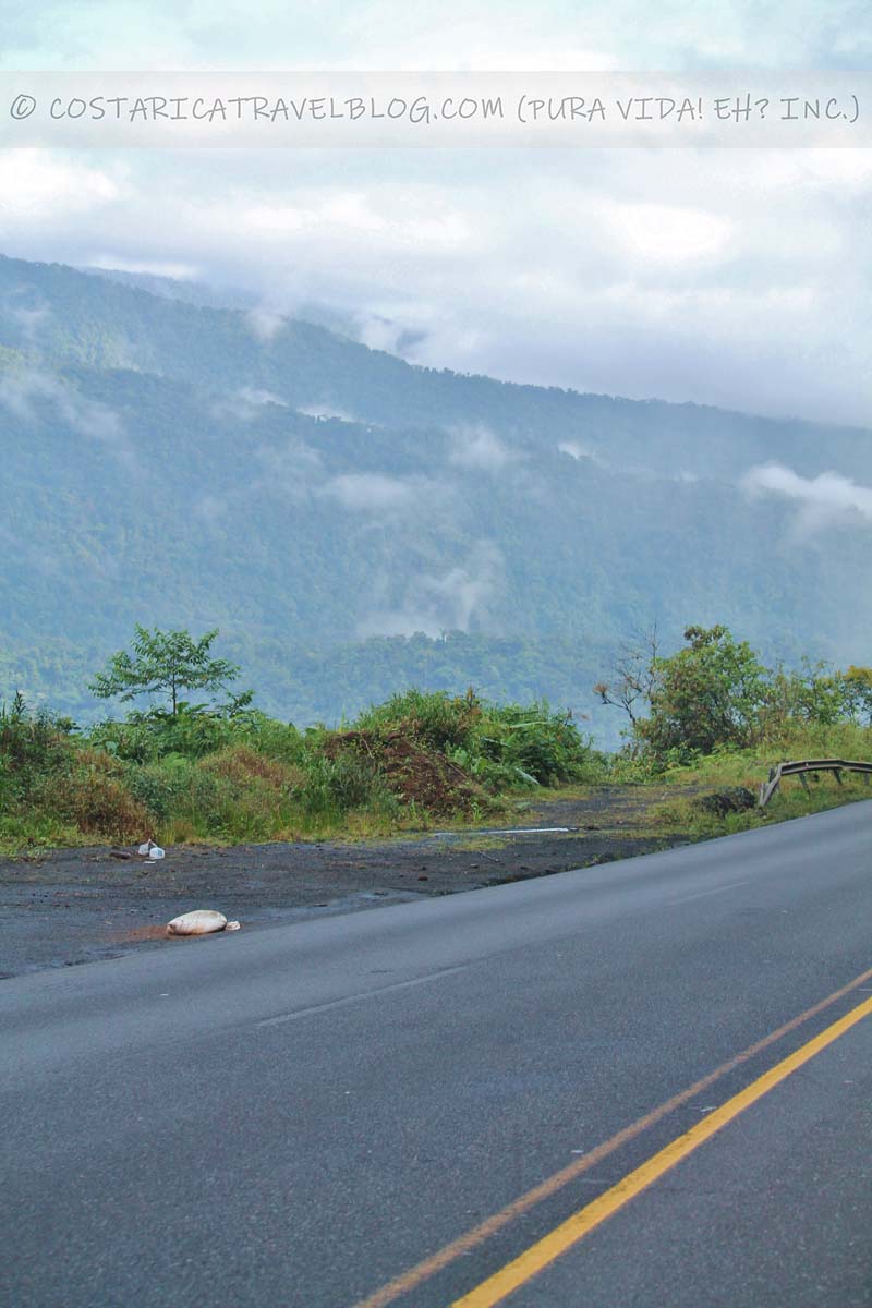
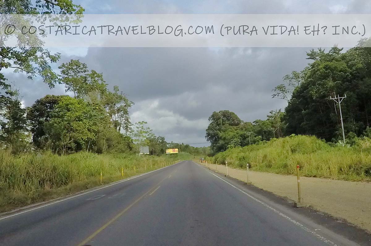
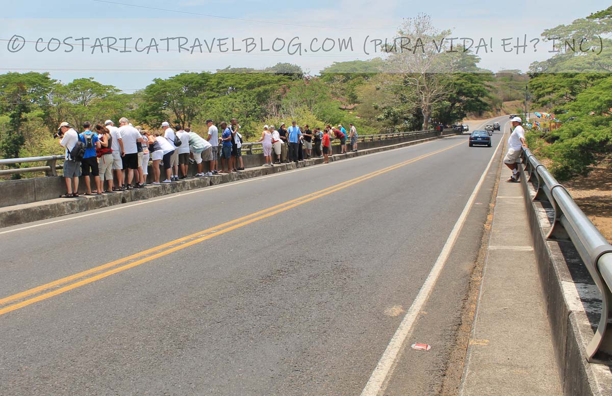
Driving Highway 1 in Costa Rica between San Jose and Penas Blancas / the border shared with Nicaragua
Highway 1; north of LiberiaHighway 1; between San Jose and AlajuelaHighway 1; near LiberiaTollbooth on Highway 1 near San JoseHighway 1; near Limonal
Overall highway quality: 9/10
Highway 1 is Costa Rica’s most popular highway. It connects the west end of the centrally located capital city (San Jose) with the northwest corner of the country. It’s also considered an extension of Highway 2.
If you fly into the SJO airport, you’ll travel part of this highway on the way to destinations in Guanacaste, on the Nicoya Peninsula, or to inland hot spots including Monteverde and Rincon de la Vieja. If you fly into the LIR airport, you’ll travel part of this highway on the way to destinations southeast of Liberia. The highway also connects with Nicaragua at the Costa Rican border town of Penas Blancas.
Alternative highway names: Carretera Interamericana; Inter-American Highway; Pan-American Highway; Autopista General Canas (east of Alajuela); Autopista Bernardo Soto (west of Alajuela); Carretera Esparza-Puntarenas (west of Esparza to Highway 17)
Popular destinations encountered along the route: San Jose, Canas, Bagaces, Liberia, and the border community of Penas Blancas
Popular destinations reached by cutoffs along the route: Monteverde, Puntarenas, beach towns on the Nicoya Peninsula, Bijagua, beach towns in along the northern Pacific coast, the Rincon de la Vieja National Park, and the Santa Rosa National Park
Highway conditions and design: paved, multi-lane (2-3 lane) highway in some areas and paved, single-lane highway in others
Terrain: primarily flat and straight
Pace: fast
Traffic: heavy at times; highway is commonly shared with transport trucks
Flow: two-way highway
Tolls: yes; the highway has 2 tollbooths, one between Alajuela and San Jose and one between Alajuela and San Ramon
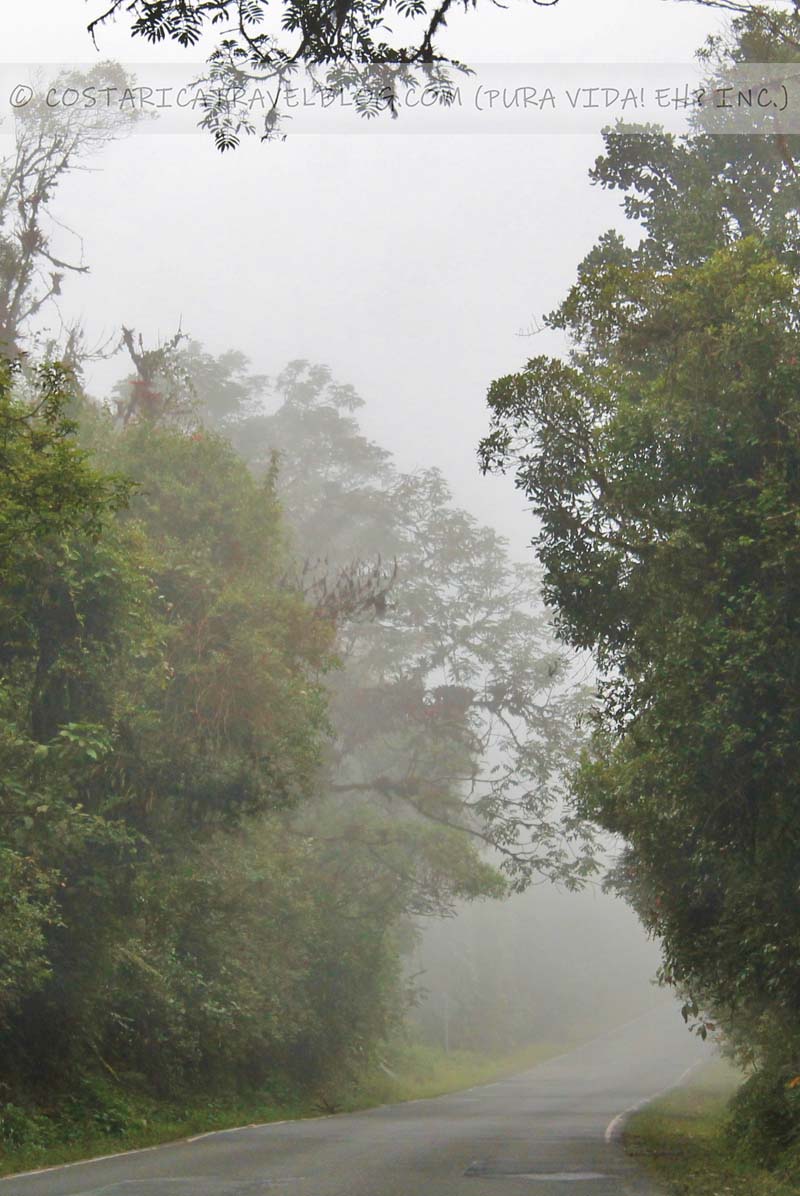
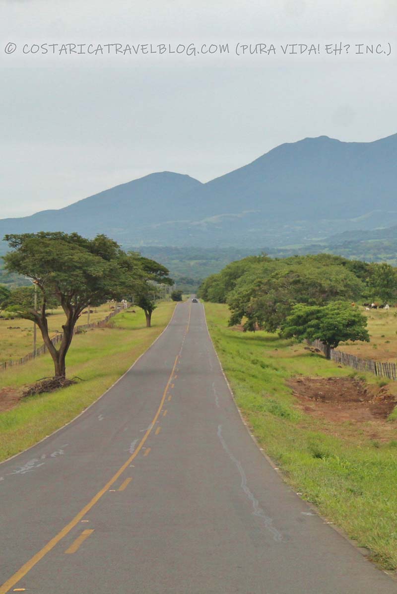
Driving Highway 2 in Costa Rica between San Jose and Paso Canoas / the border shared with Panama
Highway 2; between San Jose and CartagoHighway 2; Cerro de la Muerte on a sunny dayHighway 2; Cerro de la Muerte on a cloudy dayHighway 2; south of Palmar
Overall highway quality: 8/10
Highway 2 is Costa Rica’s second most popular highway. It connects the west end of the centrally located capital city (San Jose) with the southeast corner of the country. It’s also considered an extension of Highway 1.
If you fly into the SJO airport, you may travel part of this highway on the way to destinations along the central Pacific coast, on the Osa Peninsula, in the southern inlands, or along the southern Pacific coast. If you fly into the LIR airport, you’ll first need to travel on Highway 1 to San Jose before taking Highway 2 (on the east side of San Jose) to southern destinations. The highway also connects with Panama at the Costa Rican border town of Paso Canoas.
Special / important notes
Highway 2 travels through downtown San Jose. If you wish to avoid Costa Rica’s chaotic capital city, don’t take Highway 2.
Between Cartago and San Isidro de El General, Highway 2 travels over the notorious mountain Cerro de la Muerte. If you’d prefer to avoid the mountainous stretch altogether, instead travel Highway 34 along the central Pacific coast to the southern half of the country.
Alternative highway names: Carretera Interamericana; Inter-American Highway; Pan-American Highway; Paseo Colon (west side of San Jose); Avenida Central (in downtown San Jose); Avenida 2 (in downtown San Jose following the split of Avenida Central); Avenida 3 (in downtown San Jose following the split of Avenida Central); Avenida del Libertador Juan Rafael Mora (alternative name for Avenida 2)
Popular destinations encountered along the route: San Jose, Cartago, San Isidro de El General, Palmar, and the border community of Paso Canoas
Popular destinations reached by cutoffs along the route: San Gerardo de Dota, San Gerardo de Rivas (Cerro Chirripo), Dominical, Sierpe, Puerto Jimenez, and Golfito
Highway conditions and design: paved, multi-lane highway in some areas and paved, single-lane highway in others
Terrain: partly flat and partly mountainous; curvy in places
Pace: fast in flat areas and slow in mountainous areas
Traffic: heavy between San Jose and Cartago; highway is sometimes shared with transport trucks
Flow: mostly two-way highway; one-way highway through downtown San Jose (between Calle 20 and Calle 29, traffic flows east on Highway 2 / Avenida 2 and traffic flows west on Highway 2 / Avenida 3)
Tolls: yes; the highway has 1 tollbooth between San Jose and Cartago
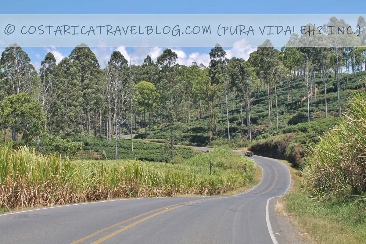
Driving Highway 3 in Costa Rica between San Jose and Highway 27 at Orotina
Tollbooth on Highway 3 near AlajuelaHighway 3; near AtenasHighway 3; near Atenas
Overall highway quality: 7/10
Highway 3 is the old version of Costa Rica’s current Highway 1. It nearly connects the centrally located capital city (San Jose) with the central Pacific port city of Puntarenas. It stops short of Puntarenas roughly 35 kilometers to the east where Highway 3 joins Highway 27.
Most visitors who fly into the SJO airport use Highway 1 to travel to destinations in Guanacaste, on the Nicoya Peninsula, or to inland hot spots including Monteverde and Rincon de la Vieja. Highway 3 provides a slower but more scenic alternative as far as the community of San Mateo, where a short jaunt on Road 131 leads to Highway 1. Alternatively, you can take Highway 3 as far as the town of Orotina, where the highway meets Highway 27 and leads to Highway 34, the gateway to the central Pacific coast.
Alternative highway names: The old Highway 1; the old coffee trail; el Aguacate; Avenida 6 / Avenida Domingo Sarmiento / Calle 7 (in downtown Heredia following the split of Highway 3); Avenida 4 / Avenida Obispo Morel / Calle 9 / Calle Pedro Henriquez Urena (in downtown Heredia following the split of Highway 3)
Popular destinations encountered along the route: Heredia, Alajuela, and Atenas
Popular destinations reached by cutoffs along the route: none
Highway conditions and design: paved, single-lane highway
Terrain: primarily flat through Heredia and Alajuela; mountainous and curvy the remainder of the route
Pace: average
Traffic: can be congested between San Jose and Alajuela; standard the remainder of the route
Flow: mostly two-way highway; one-way highway through downtown Heredia (between Road 111 and Road 113, traffic flows east on Avenida 6 / Avenida Domingo Sarmiento and south on Calle 7, as well as west on Avenida 4 / Avenida Obispo Morel and north on Calle 9 / Calle Pedro Henriquez Urena)
Driving Highway 4 in Costa Rica between Highway 32 at San Jose and Highway 6 at Upala
Highway 4; south of Puerto Viejo de SarapiquiHighway 4; between Chilamate and Vuelta KopperHighway 4; between Chilamate and Vuelta Kopper
Overall highway quality: 9/10
North of San Jose, Highway 4 branches off from the Caribbean-bound Highway 32 and travels throughout the northern zone. You’ll experience this highway if you plan to travel between the Caribbean and destinations in the northern zone, like Puerto Viejo de Sarapiqui, La Fortuna, Guatuso, and Bijagua.
Alternative highway names: Corredor Noratlántico; Chilamate-Vuelta Kopper Highway (between Chilamate and Vuelta Kopper)
Popular destinations encountered along the route: Sarapiqui, Muelle, Guatuso, and Upala
Popular destinations reached by cutoffs along the route: La Fortuna, the Venado Caves, the Tenorio Volcano National Park / Rio Celeste, and the Cano Negro Mixed Wildlife Refuge
Highway conditions and design: paved, single-lane highway
Driving Highway 6 in Costa Rica between Highway 4 at Upala and Highway 1 northwest of Canas
Highway 6; between Highway 1 and Bijagua
Overall highway quality: 9/10
East of Liberia, Highway 4 departs from Highway 1 to the north and slices through Costa Rica’s northern zone. As one of Costa Rica’s least traveled highways, Highway 6 provides a leisurely drive. It also rewards with pretty pastoral scenes and volcano views.
If you find yourself on this highway it’s probably because you’re destined for the small town of Bijagua and its primary attraction: the Tenorio Volcano National Park. The stunning Rio Celeste, which hides within the park, is the area’s primary draw.
Alternative highway names: none
Popular destinations encountered along the route: Bijagua and Upala
Popular destinations reached by cutoffs along the route: the Tenorio Volcano National Park / Rio Celeste
Highway conditions and design: paved single-lane highway
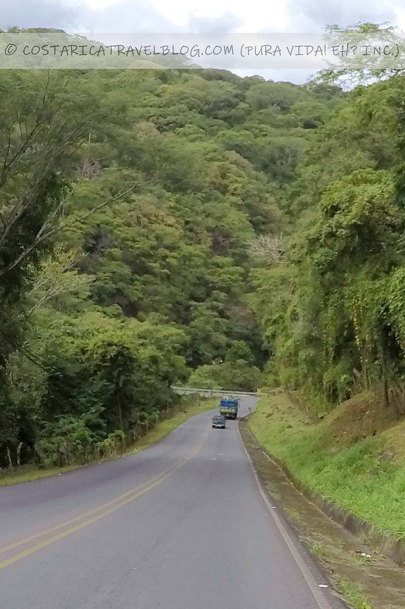
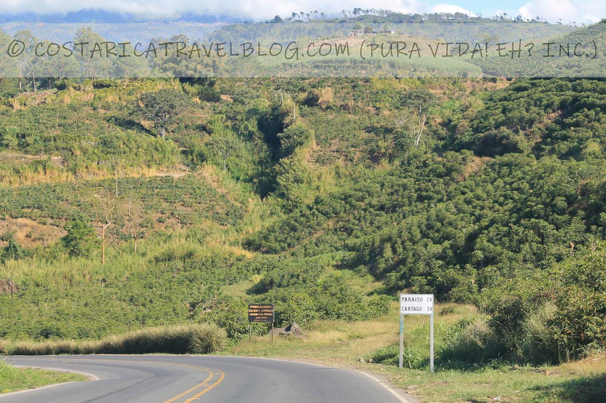
Driving Highway 10 in Costa Rica between Highway 2 at Cartago and Highway 32 at Siquirres
Highway 10; between Turrialba and CartagoHighway 10; between Turrialba and Cartago
Overall highway quality: 7/10
East of San Jose, Highway 10 branches off the southbound Highway 2 and travels east through Cartago and Turrialba to Siquirres where it ends at Highway 32. You’ll experience this highway if you plan to travel from the Central Valley to the Caribbean via the scenic route (as opposed to the direct route provided by Highway 32).
Special / important notes
The section of Highway 10 between Turrialba and Siquirres is one of our favorite drives in the country. The mountainous stretch provides views of the Turrialba valley, the Turrialba Volcano (sometimes mid-eruption), and the Pacuare River valley.
Some sections of Highway 10 climb through clouds. Avoid driving this route after dark.
Alternative highway names: Avenida 1 / Avenida 2 (in downtown Cartago following the split of Highway 10); Avenida Central (in downtown Cartago following the split of Highway 10); Avenida 4 (between Cartago and Paraiso); Avenida 0 (in downtown Paraiso following the split of Highway 10); Avenida 1 (in downtown Paraiso following the split of Highway 10); Calle 4 / Avenida 1 (in downtown Turrialba following the split of Highway 10); Calle 2 / Avenida 4 (in downtown Turrialba following the split of Highway 10)
Popular destinations encountered along the route: Cartago, Turrialba, Siquirres
Popular destinations reached by cutoffs along the route: Orosi, Cachi, and Ujarras
Highway conditions and design: paved, single-lane highway
Terrain: flat through Cartago to Paraiso and in Turrialba; mountainous and curvy the remainder of the route
Pace: average; slow-moving trucks carrying sugarcane can slow traffic
Traffic: can be congested between Cartago and Paraiso; standard the remainder of the route
Flow: mostly two-way highway; one-way highway through downtown Cartago (between Highway 2 and Calle 17, traffic flows east on Avenida Central and west on Avenida 1 / Avenida 2); one-way highway through downtown Paraiso (between Calle 10 and Calle Central, traffic flows east on Avenida 0 and west on Avenida 1); one-way highway through downtown Turrialba (between Calle 6 and Avenida 1, traffic flows south on Calle 4 and east on Avenida 1, as well as north on Calle 2 and west on Avenida 4)
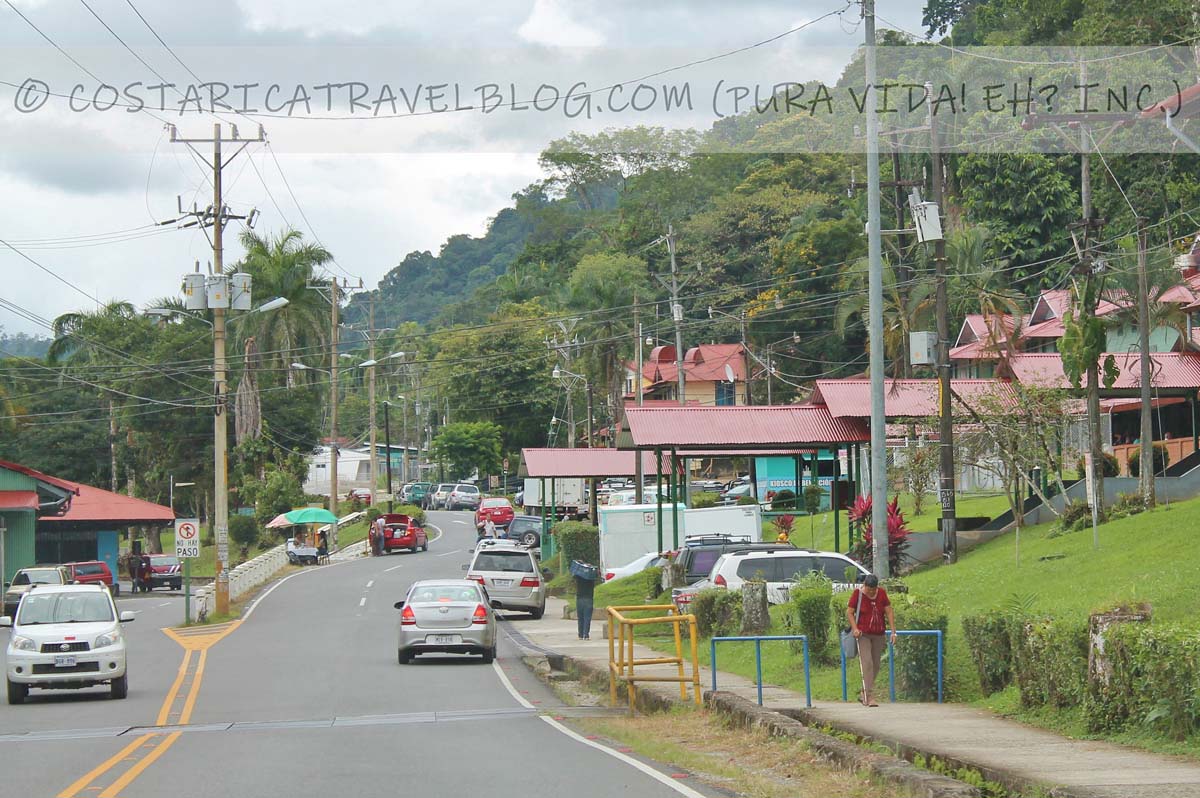
Driving Highway 14 in Costa Rica between Golfito and Highway 2 at Rio Claro
Highway 14; downtown GolfitoHighway 14; just before Golfito
Overall highway quality: 8/10
In the southeastern corner of Costa Rica, Highway 14 branches off Highway 2 and runs through downtown Golfito before ending at a roundabout on the northwest side of town. You’ll experience this highway only if you plan to visit Golfito or a beach community further south down the coast, such as Zancudo or Pavones.
Alternative highway names: none
Popular destinations encountered along the route: Golfito
Popular destinations reached by cutoffs along the route: Zancudo and Pavones
Highway conditions and design: paved, single-lane highway
Terrain: TBD
Pace: average
Traffic: standard
Tolls: no
Flow: two-way highway
River crossings: no
4×4 vehicle required: no
Connections for onward travel from Highway 14
Highways that connect with Highway 14 include Highway 2.
Highway 17
Driving Highway 17 in Costa Rica between Puntarenas and Highway 1 at El Roble
The end of Highway 17; at the tip of Puntarenas
Overall highway quality: 7/10
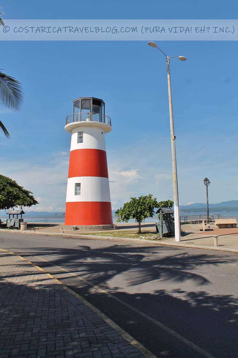
Highway 17 is the main thoroughfare of the port city of Puntarenas. It branches off from Highway 1 just west of Esparza and runs through Puntarenas before ending at the city’s westernmost tip.
The primary purpose for traveling the route is to reach Puntarenas. If you don’t plan to visit the destination (or to take the ferry from Puntarenas to destinations on the Nicoya Peninsula), Highway 17 can be avoided.
Alternative highway names: Carretera Esparza-Puntarenas; Avenida Central / Avenida Alberto Echandi Montero (in downtown Puntarenas); Avenida 1 (in downtown Puntarenas following the split of Avenida Central); Avenida 2 (in downtown Puntarenas following the split of Avenida Central)
Popular destinations encountered along the route: Puntarenas
Popular destinations reached by cutoffs along the route: none
Highway conditions and design: paved, single-lane highway
Terrain: primarily flat and straight
Pace: fast until downtown Puntarenas, where city traffic and streetlights slow the pace
Traffic: can be congested upon arrival into Puntarenas
Flow: mostly two-way highway; one-way highway upon arrival into Puntarenas (between Calle 44 and Calle 76, traffic flows east on Avenida 2 and traffic flows west on Avenida 1)
Tolls: no
River crossings: no
4×4 vehicle required: no
Connections for onward travel from Highway 17
Highways that connect with Highway 17 include Highway 1.
Highway 18
Driving Highway 18 in Costa Rica between Highway 1 at Limonal and Highway 21 at Pueblo Viejo
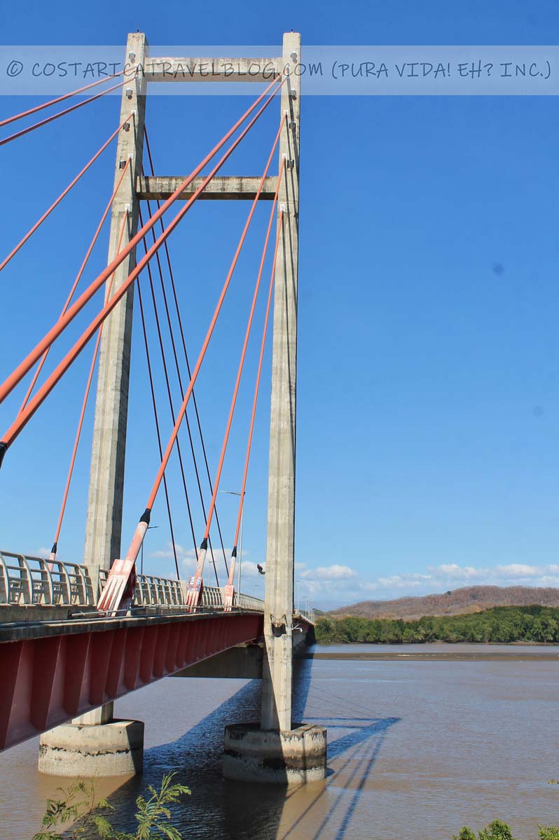
Highway 18; between Highway 1 and Highway 21Highway 18; at the Tempisque Bridge
Overall highway quality: 8/10
Highway 18 is a 50-kilometer highway that connects Highway 1, Costa Rica’s busiest highway, with Highway 21, the primary highway on the Nicoya Peninsula.
If you plan to travel to the Nicoya Peninsula via the SJO airport or destinations in the Central Valley, in the northern zone, in the Caribbean, along the central Pacific coast, or in the southern half of the country, and assuming you don’t plan to reach the peninsula by taking the ferry that departs from Puntarenas, you’ll pass over Highway 18 along the way.
Alternative highway names: Paso del Tempisque
Popular destinations encountered along the route: none
Popular destinations reached by cutoffs along the route: the Barra Honda National Park
Highway conditions and design: paved, single-lane highway
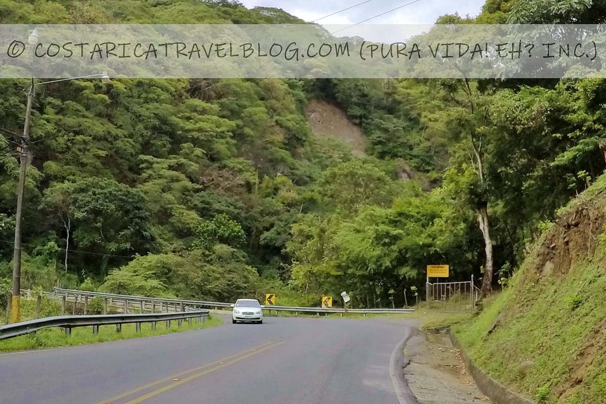
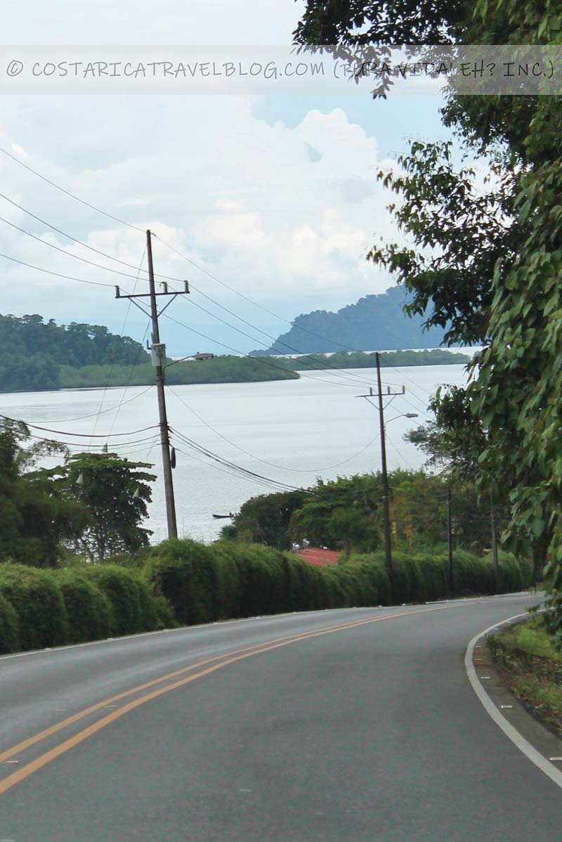
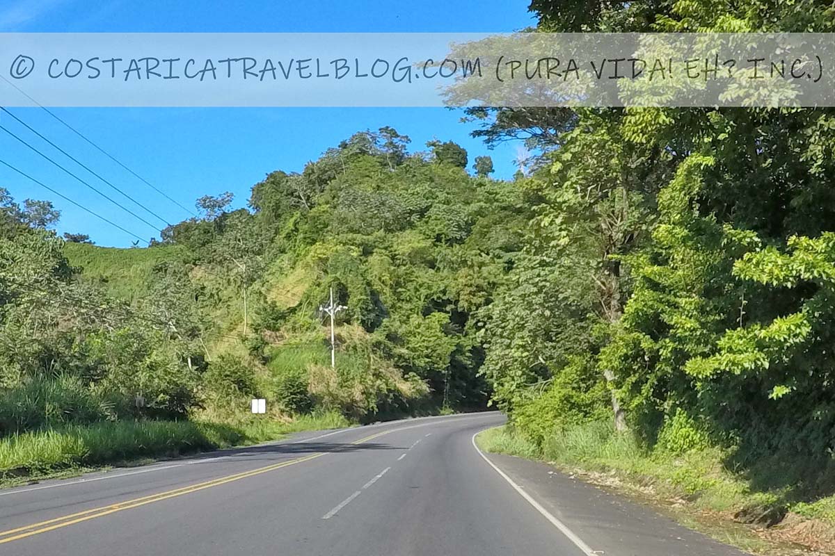
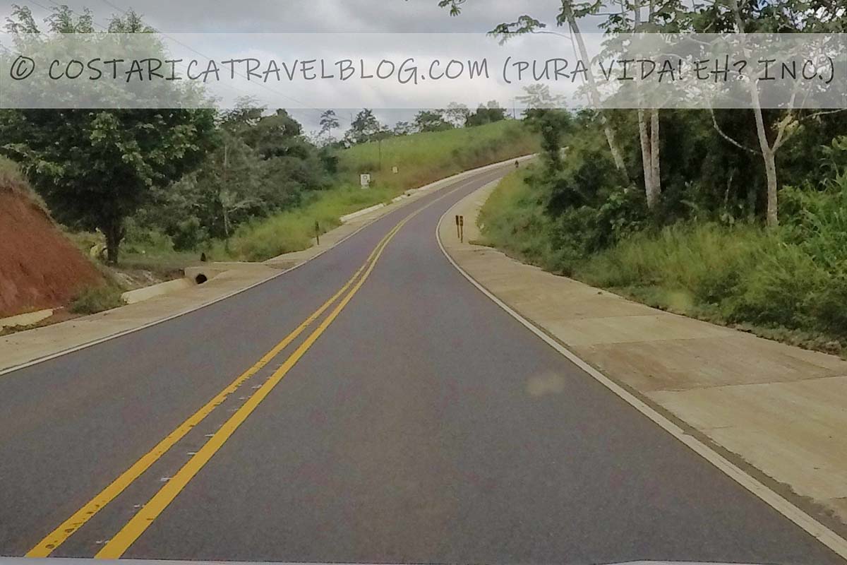
Driving Highway 21 in Costa Rica between Playa Naranjo and Highway 1 at Liberia
Highway 21; between Paquera and TamborHighway 21; between Paquera and TamborHighway 21; between Playa Naranjo and NicoyaHighway 21; between Nicoya and Santa CruzHighway 21; near Filadelfia
Overall highway quality: 8/10
If you enjoy beach hopping and you plan to do it along Costa Rica’s northern Pacific coast or the Nicoya Peninsula, familiarize yourself with Highway 21. This highway connects with Highway 1 in the center of Liberia and travels south throughout Guanacaste and the Nicoya Peninsula. The name “Highway 21” officially ends at the small port community of Playa Naranjo, though an unnamed continuation of the road further explores the peninsula, edging the coast in places and providing access to several beach towns including Tambor, Montezuma, Santa Teresa, Carmen, and Mal Pais.
Alternative highway names: none
Popular destinations encountered along the route: Liberia, Santa Cruz, Nicoya, and Playa Naranjo
Popular destinations reached by cutoffs along the route: Papagayo, Playa Hermosa, Playas del Coco, Potrero, Playa Flamingo, Brasilito, Playa Grande, Tamarindo, Nosara, and Samara
Highway conditions and design: paved, single-lane highway
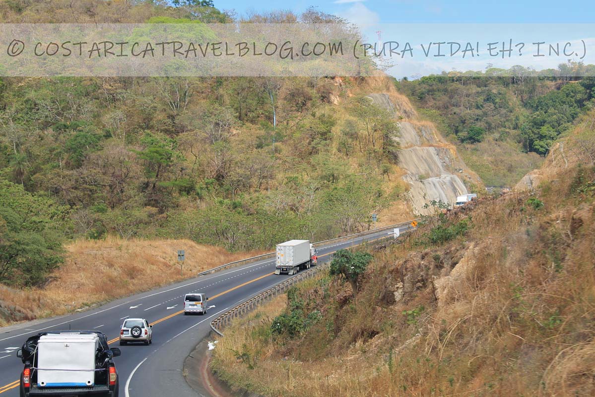
Driving Highway 27 in Costa Rica between Caldera and Highway 1 at San Jose
Highway 27
Overall highway quality: 8/10
One of the newest Costa Rica highways is Highway 27, a fast-paced shortcut to the central Pacific coast from the Central Valley.
There are several reasons why you might find yourself on Highway 27, the biggest being you’re destined for the central Pacific coast (or cities, towns, or beaches on the Osa Peninsula or in the southern Pacific) and you’d prefer not to take the slower (albeit more scenic) Highway 3. Highway 27 begins where Highway 1 ends on the west side of San Jose (at the southeast corner of San Jose’s largest park, Parque Metropolitano La Sabana) and ends at Highway 23 at the port town of Caldera.
Alternative highway names: Autopista del Sol; Autopista Prospero Fernandez (between San Jose and Santa Ana); Autopista Jose Maria Castro Madriz (between Santa Ana and Caldera)
Popular destinations encountered along the route: San Jose and Escazu
Popular destinations reached by cutoffs along the route: Santa Ana and Atenas
Highway conditions and design: paved, multi-lane highway in some areas and paved, single-lane highway in others
Terrain: partly flat and partly mountainous; curvy in places
Pace: fast
Traffic: heavy at times; highway is commonly shared with transport trucks; landslides can cause delays
Flow: two-way highway
Tolls: yes; the highway has 4 tollbooths at Escazu, San Rafael, Atenas, and Pozon, plus 5 additional tollbooths at the exits to Ciudad Colon, La Guacima, Siquiares, Atenas, and Pozon
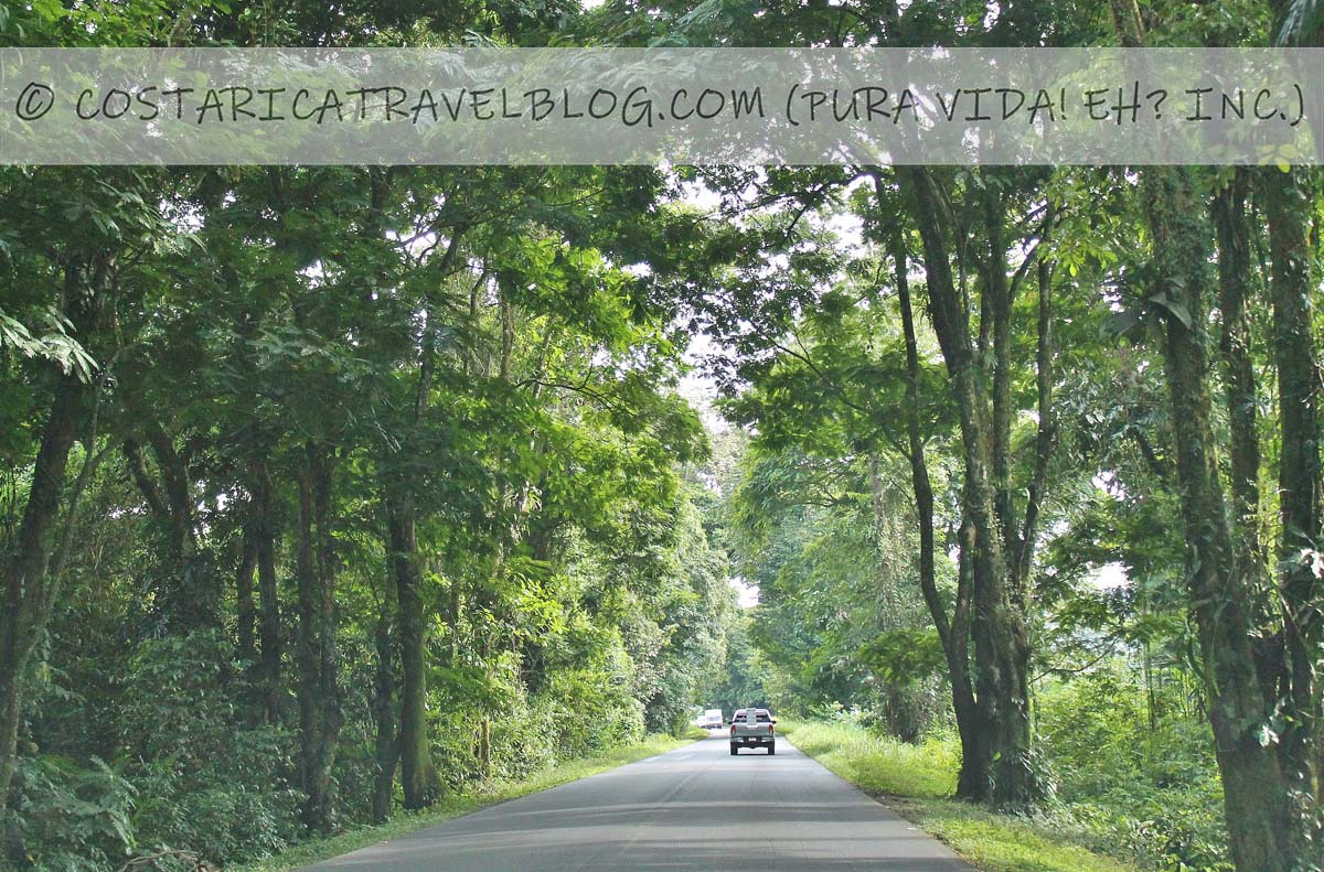
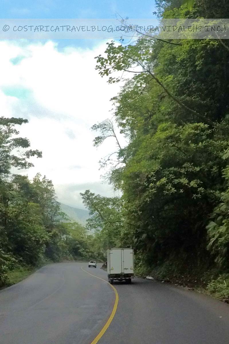
Driving Highway 32 in Costa Rica between San Jose and Limon
Highway 32; national park forestHighway 32; cliffHighway 32; near Guapiles
Overall highway quality: 8/10
Are you headed to the Caribbean? If you, you’ll likely travel Highway 32, the main access road to Costa Rica’s eastern side.
Regardless of whether you fly into the SJO airport or the LIR airport, you’ll experience Highway 32 if you’re destined for the Caribbean coast. The highway, which departs from San Jose to the north and weaves through the Braulio Carrillo National Park before providing a nearly straight run to the coast, is one of the most traveled roads in the country.
Special / important notes
The southernmost section of Highway 32 (between San Jose and Highway 4) travels through the Braulio Carrillo National Park. The dense, mountainous stretch provides pretty views of the park and Central Valley, as well as dangerous hairpin turns. East of Highway 4, Highway 32 is an easy drive all the way to the port city of Limon.
Some sections of Highway 32 (primarily the stretch between San Jose and Highway 4) climb through clouds and edge cliffs. Avoid driving this route after dark.
Alternative highway names: Carretera Braulio Carrillo
Popular destinations encountered along the route: San Jose, the Braulio Carrillo National Park, Guapiles, Siquirres, and Limon
Popular destinations reached by cutoffs along the route: Sarapiqui, Tortuguero, Turrialba, and beach destinations in the southern Caribbean
Highway conditions and design: paved, multi-lane highway in some areas and paved, single-lane highway in others
Terrain: partly flat and partly mountainous; curvy in places
Pace: fast
Traffic: heavy at times; highway is commonly shared with transport trucks; landslides and street protests can cause delays
Flow: mostly two-way highway; one-way highway immediately north of San Jose (between Road 108 and Avenida 3, traffic flows north on Calle 3 and south on Calle 1)
Tolls: yes; the highway has 1 tollbooth between San Jose and Highway 4
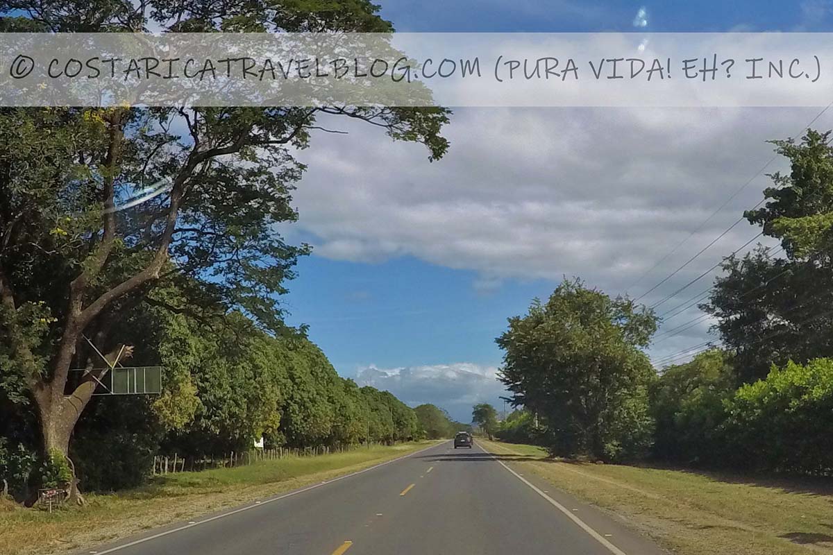
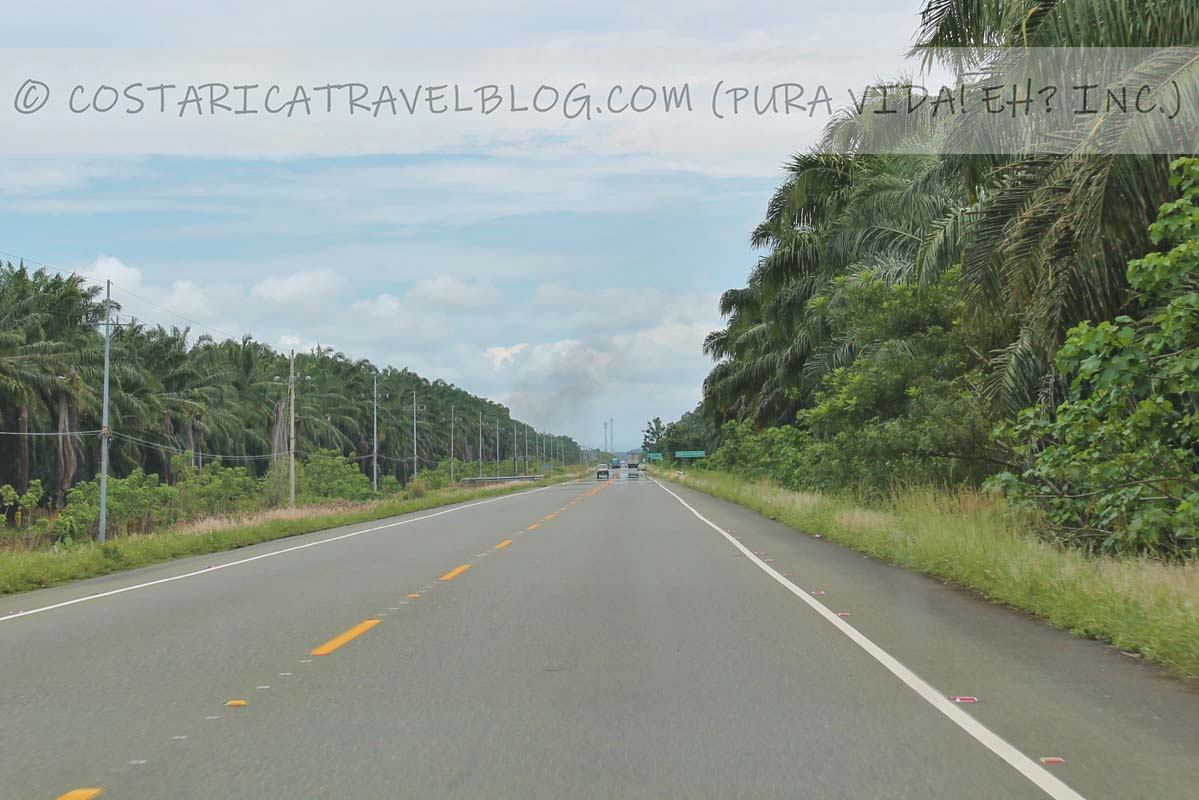
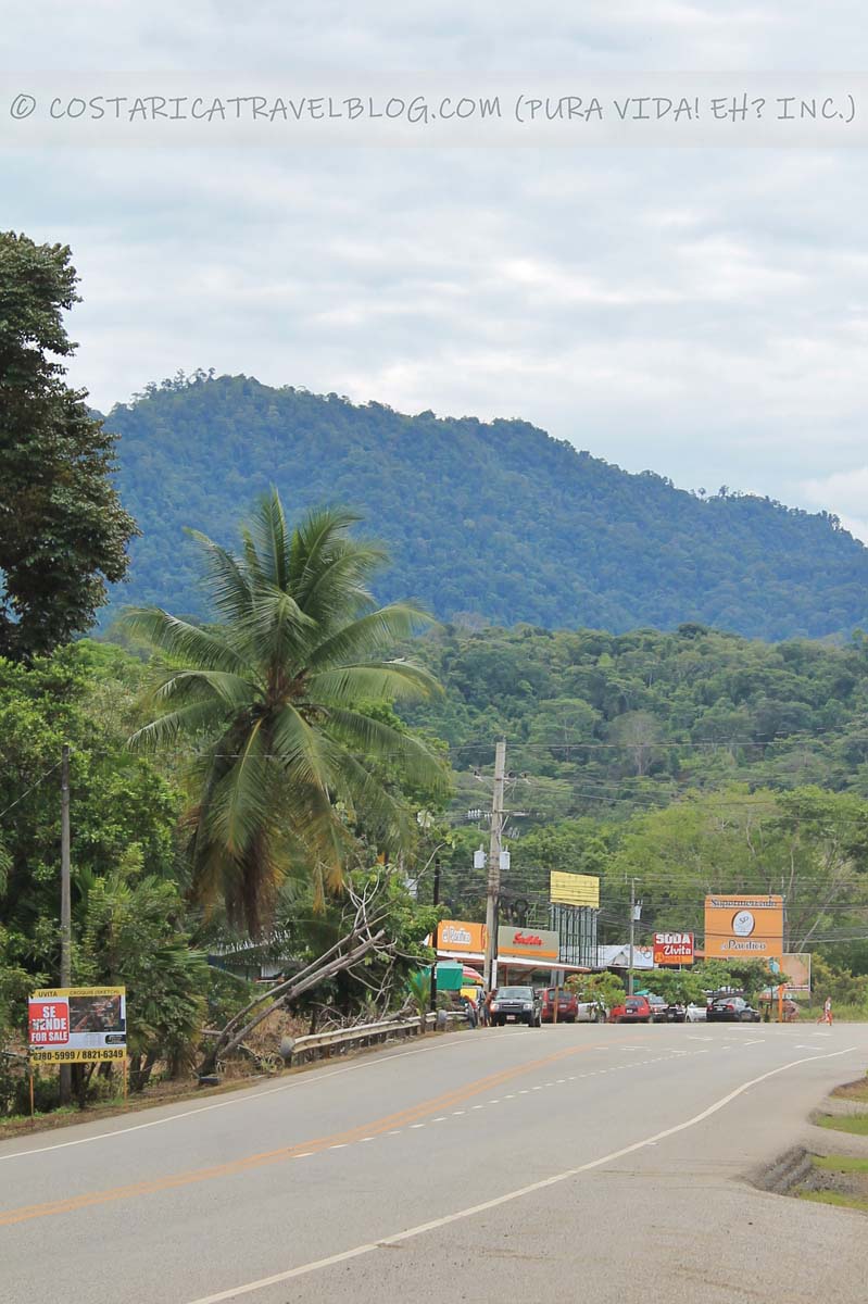
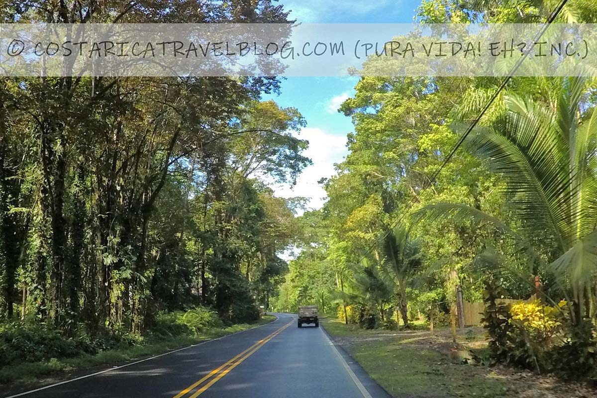
Driving Highway 34 in Costa Rica between Highway 27 west of Orotina and Highway 2 at Palmar
Highway 34, near the Carara National ParkHighway 34, near the Carara National ParkHighway 34; at the Crocodile Bridge (Tarcoles)Highway 34; between Quepos and DominicalHighway 34; at UvitaHighway 34; between Ojochal and Palmar
Overall highway quality: 9/10
Highway 34 is the principal highway in Costa Rica’s central Pacific region. It begins off Highway 27 west of Orotina and travels the length of the central Pacific coast. It ends at Highway 2 in the middle of Palmar.
Several of Costa Rica’s most visited beach towns fall along Highway 34. The scenic route, which is flanked by the Pacific Ocean and either a steep rising wall of mountains or a fields of palm trees, is one of the easiest drives you can make in the country.
Alternative highway names: Costanera Sur; the Central Pacific Highway
Popular destinations encountered along the route: the Crocodile Bridge, the Carara National Park, Herradura, Jaco, Playa Hermosa, Quepos, Dominical, Uvita, and Ojochal
Popular destinations reached by cutoffs along the route: the Manuel Antonio National Park, San Isidro de El General, the Marino Ballena National Park
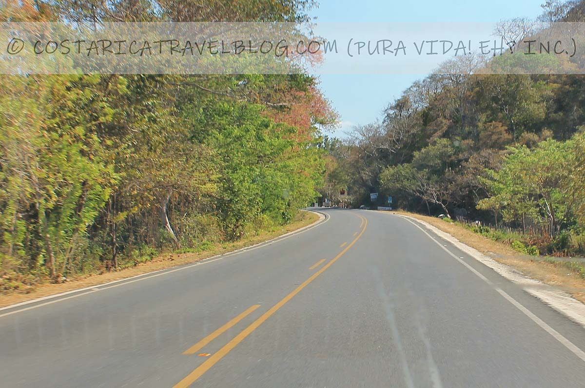
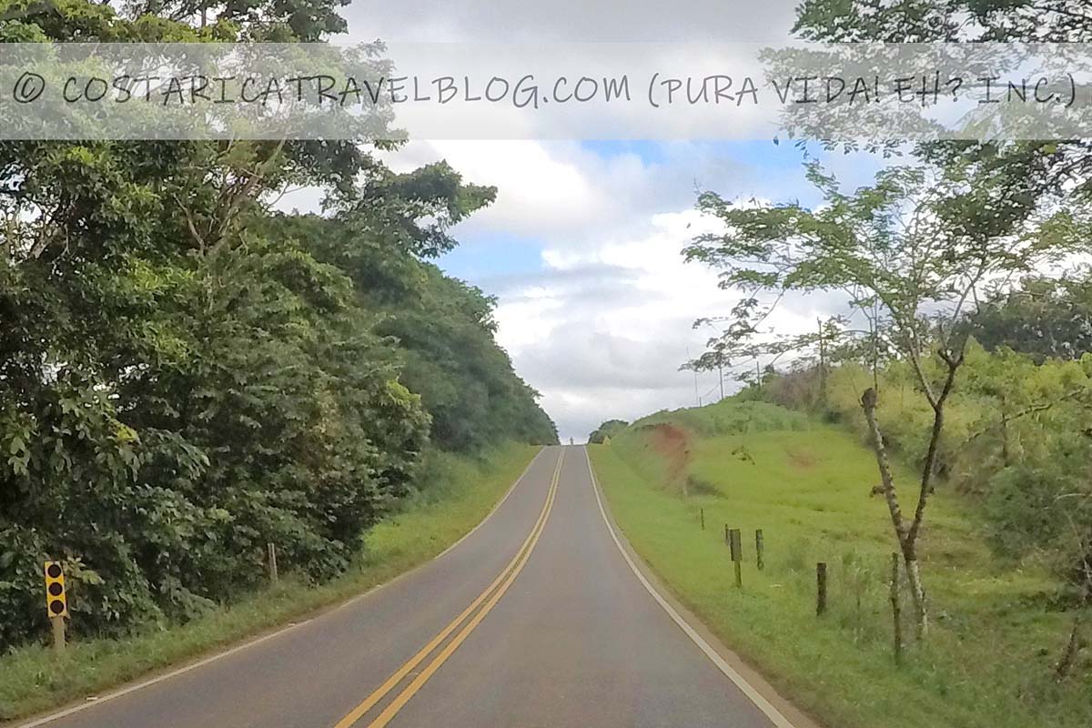
Highway conditions and design: paved single-lane highway
Terrain: primarily flat; curvy in places but with several straightaways
Highway 35; between Muelle and Los ChilesHighway 35; between Muelle and Los Chiles
Information coming soon!
Highway 36
Driving Highway 36 in Costa Rica between Limon and Sixaola / the border shared with Panama
Highway 36; near Cahuita
Overall highway quality: 8/10
Highway 36 is the most significant highway in the Caribbean. From the port city of Limon, it travels south along the coast to the community of Hone Creek before bending inland and ending at Sixaola, a Costa Rican border town at the edge of Panama.
The primary purpose for traveling the route is to reach southern Caribbean destinations, such as Cahuita. Road 256, which branches off Highway 36 at Hone Creek, leads the way to popular beach towns and communities including Puerto Viejo de Talamanca, Punta Uva, and Manzanillo.
Alternative highway names: the Caribbean Highway
Popular destinations encountered along the route: Limon, Cahuita, the Cahuita National Park, the Indigenous community of Bribri, and the border community of Sixaola
Popular destinations reached by cutoffs along the route: Puerto Viejo de Talamanca, Punta Uva, Manzanillo, and the Gandoca-Manzanillo National Wildlife Refuge
Highway conditions and design: paved single-lane highway
Terrain: primarily flat and straight
Pace: average
Traffic: standard
Flow: two-way highway
Tolls: no
River crossings: no
4×4 vehicle required: no
Connections for onward travel from Highway 36
Highways that connect with Highway 36 include Highway 32.
Highway 39
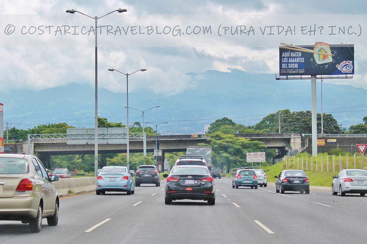
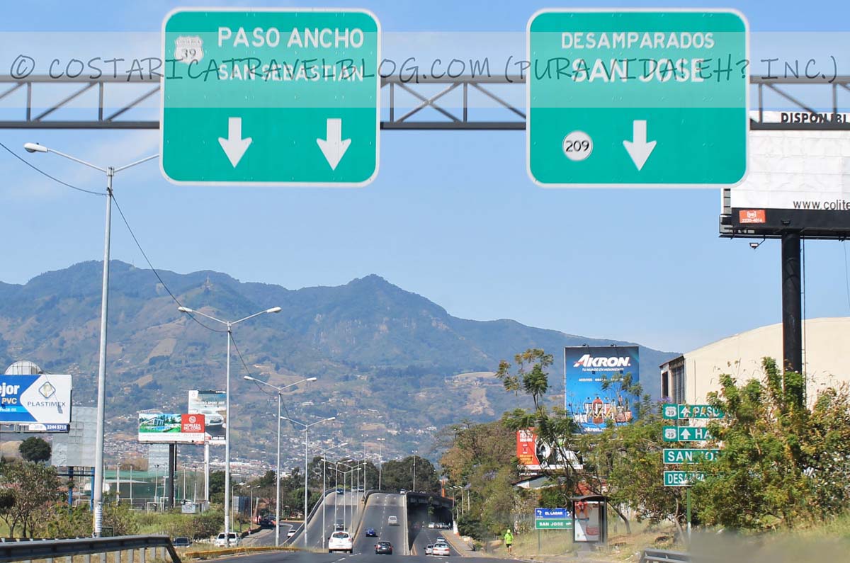
Driving Highway 39 in Costa Rica between east San Jose and west San Jose
Highway 39; on the south side of San Jose
Overall highway quality: 8/10
If you need to get from the west end of San Jose to the east end of San Jose (or vice versa) and you have no reason to visit the city’s center, you’ll love Highway 39. This speedy route skirts around downtown San Jose to the south and serves as a bypass to Costa Rica’s chaotic core.
Special / important notes
Highway 39 avoids travel through downtown San Jose. If you plan to explore, tour, dine in, or stay in the city center, don’t take Highway 39.
Highway 39 surprises drivers with a handful of multi-lane roundabouts. If you don’t know how to drive roundabouts or you don’t feel comfortable maneuvering them in Costa Rica, avoid taking this highway.
Alternative highway names: Circunvalacion; Paseo de la Segunda Republica
Popular destinations encountered along the route: west San Jose, south San Jose, and east San Jose
Popular destinations reached by cutoffs along the route: none
Highway conditions and design: paved multi-lane highway
We created the above color-coded map to show where popular Costa Rica highways start and end. Included on the map are the following highways detailed in this blog post:
Highway 1 displayed at San Jose and Penas Blancas (marked by car icons)
Highway 2 displayed at San Jose and Paso Canoas (marked by car icons)
Highway 3 displayed at San Jose and at Highway 27 at Orotina (marked by car icons)
Highway 36 displayed at Limon and Sixaola (marked by car icons)
Highway 39 displayed at east San Jose and west San Jose (marked by car icons)
Pura vida!
Do you have questions about particular highways in Costa Rica, want help deciding which routes to take between destinations, or need help identifying cool places to stop at along the highway? No problem! When you’re ready, make an appointment here to communicate with me (Nikki) privately and we can discuss these and other topics to get your questions answered fast and your Costa Rica trip poised for success. Pura vida, amigos! 🙂
Hey, Costa Rica Travel Blog reader, thank you for visiting and reading our blog! We're truly grateful for your time and preference.
Do you know that your spam-free reading experience is most important to us? Unlike some other Costa Rica blogs, we do not to sell your personal information, and we choose not to display ads, sponsored content, or affiliate marketing on our blog so we can keep your visit as distraction- and junk-free as possible. Because we prioritize your privacy, we don't earn money when you visit us, when you sign up for our e-course, or when you click on our links, which means the time and work we put into this blog—including its 300+ articles—is entirely voluntary! If you find our content valuable, and you'd like to thank us for making the trip-planning process easier and your Costa Rica vacation more enjoyable, please consider making a small donation ($1, $2, $3, or an amount of your choosing) to our blog. Doing so is a great way to pat us on the back if you feel we deserve it. 😊 Pura vida, amigos!
Click on the button above to donate through PayPal. (If you cannot see the PayPal button above, click here.) A PayPal account is not required to make a donation; credit and debit cards are also accepted. PayPal donations are confidential; we never see your payment details.
Love our blog? Check out our other Costa Rica-related projects, too:
Summary
Article Name
Costa Rica Highway Conditions By Route
Description
We compare and contrast Costa Rica highway conditions by design, terrain, pace, traffic, flow, tolls, river crossings, and 4x4 requirements.
The comment section of this article has moved! If you have a question or comment about our article above or Costa Rica travel in general, please post it in our Questions and Answers Forum on DIY Costa Rica, our sister website, where you can also access our private Costa Rica recommendations, our Costa Rica Destination Tool, and our Costa Rica Recommendations Map. See you there, amigos! 🙂
Great question! While the article above focuses on Costa Rica’s highways, you can find information about Costa Rica’s roads (non-highway roads) in our related blog post Costa Rica Road Conditions By Route.
Pura vida! 🙂
Author
Posts
Viewing 1 reply thread
The forum ‘Costa Rica Travel Blog Forum’ is closed to new topics and replies.
The LATEST: Prefer learning by listening, not reading? We're now on Spotify! Listen here. The GREATEST: Humbly, this is the best Costa Rica blog. Discover why here. Pura vida, amigos!


Tagged: costa rica, transportation